"Places & Spaces: Mapping Science" exhibit @ NRC-CISTI
It is very exciting that the Places and Spaces: Mapping Science exhibit from Indiana University will be on display at NRC-CISTI from April 3 - June 27 2008.
This is the first time this collection of amazing maps of science is on display outside the U.S.

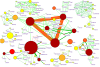
The diverse and creative collection includes traditional cartographic maps, concept maps and domain maps. These are all physical paper (+other media) maps, and also includes some hands-on maps made specifically for children to interact with.


References:
- Boyack, K.W., Klavans, R., Börner, K. (2005). Mapping the Backbone of Science. Scientometrics, 64(3), 351-374.

Comments